Doolin, Ireland
June 19th - 21st, 2004
After Dave's conference, we picked up a car and headed to Doolin. Located on the west coast of Ireland across from the Aran Islands, it's relatively close to all the major attractions on my to do list. I knew I wanted to stay in a B&B and I must say the internet had tons of choices. Of course, my first choice was booked, so I went with my second choice. Funny thing was that I agonized over picking the perfect place and when we drove down the street I saw all the places just lined up next door to each other.
Believe it or not, this was our first time to drive on the wrong side of the
road! Dave did a pretty good job I must say... even in spite of the cows...
All the roads were two lane, SMALL lane, winding roads. I was reading
the map to make sure we didn't miss our turnoff and all of a sudden Dave
slams on the brakes. I look up, about to have a small heart attack, too
see about 20 cows and a farmer in front of us. He was hearding the cows
down the road in our lane... to where I don't know. He looked at us, like
ummmm you're in the way of my cows. So we pulled into the opposite lane
and went around him. It was pretty funny afterward!
Safely arriving at the B&B, I knocked on the door to no answer. It was
strange because I called ahead to say we were on our way. I wait a few
minutes and then start wandering around the back of the house. I can hear
kids voices in the distance. Finally I come to a barn and find the parents
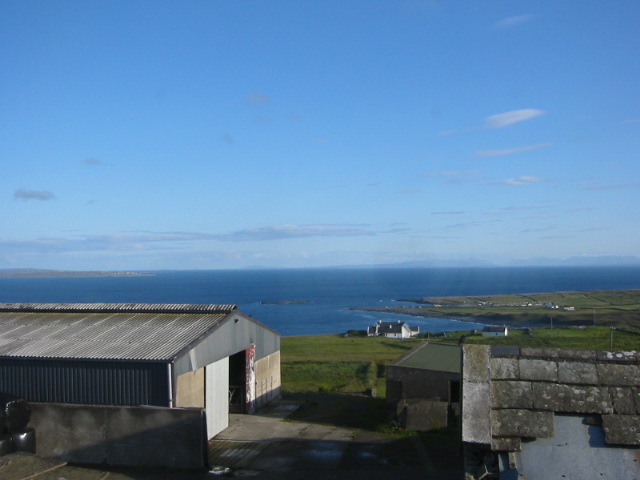
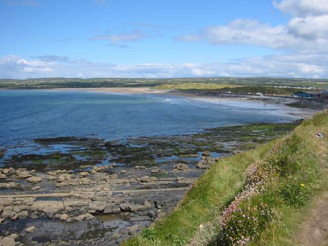
watching the kids play in the hay. From our room we had a great view of
the Atlantic Ocean.
That evening, we went to a local pub for "hometown" atmosphere. Funny
thing was that after we sat down we noticed the whole pub was full of
tourists, mostly from the U.S. We met a very talkative older couple
who had been traveling around Ireland for a couple of weeks. We talked to
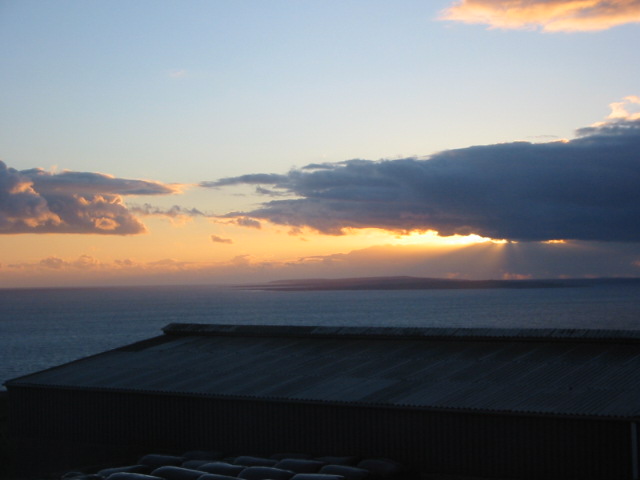
them while we ate dinner and then headed back to the B&B just in time for
a beautiful sunset over the Aran Islands.
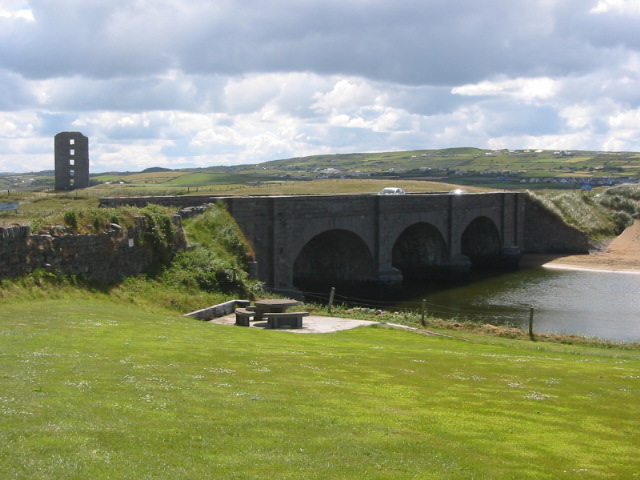
Saturday morning, first stop was the ferry to the Aran Islands. Arriving at the pier just after the 10:00 had departed, we played on the shore until it was time to board the 11:00 ferry.
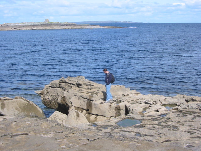
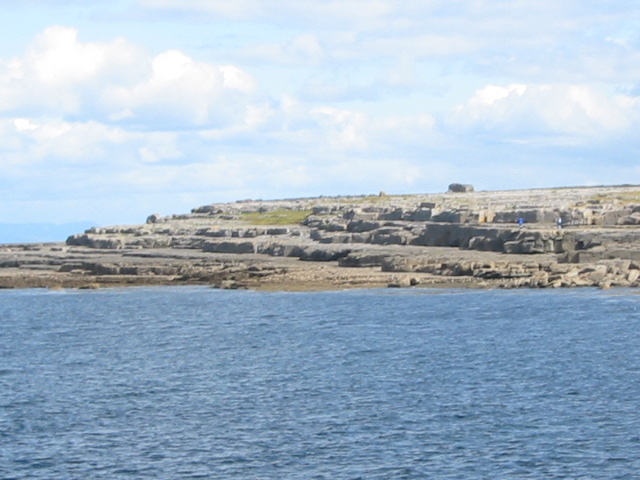
*******Click here to see the Aran Islands*******
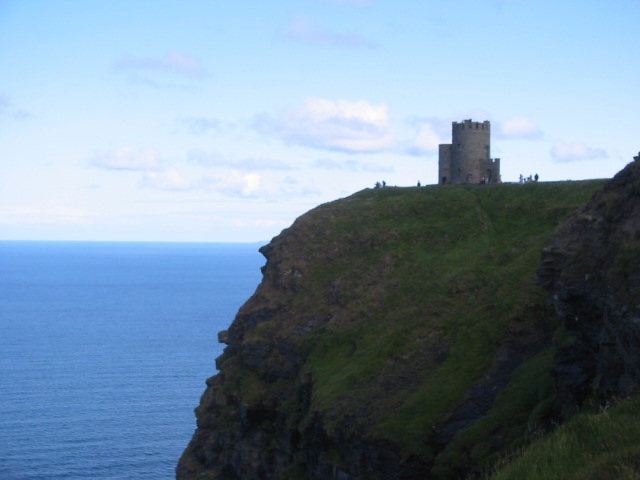
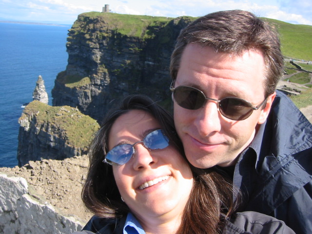
After the island, we jumped in the car and headed to Aillwee Cave.
The cave is located just south of Ballyvaughan, which was about a
45 minute drive northeast of the islands. As we headed over there
the skies darkened and it began to rain. I think it's unwritten
law that there will be some sort of precipitation every
afternoon/evening in Ireland. Luckily, by the time we reached the
caves the rain stopped.
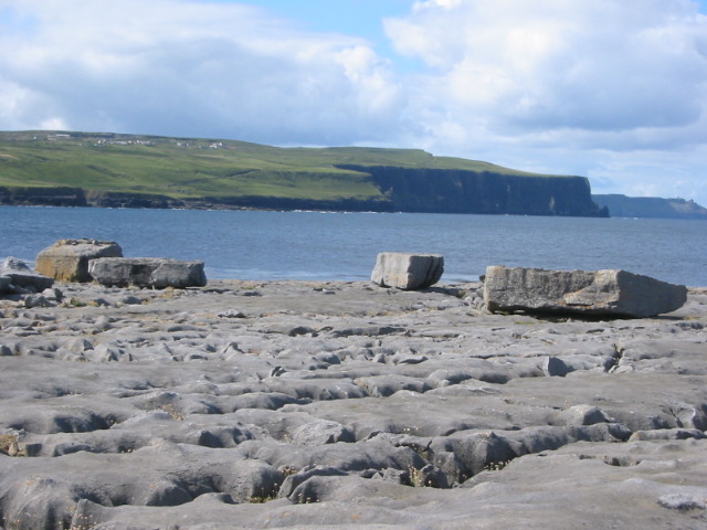
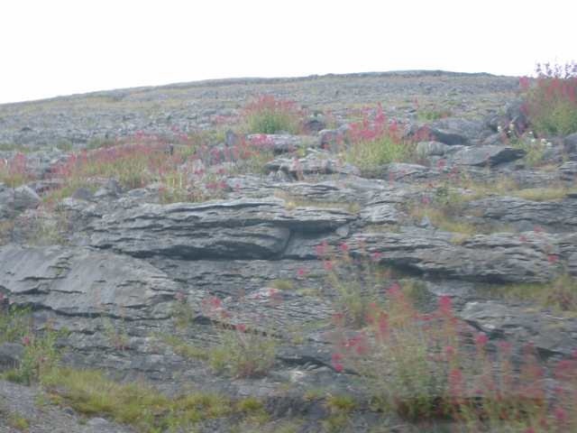
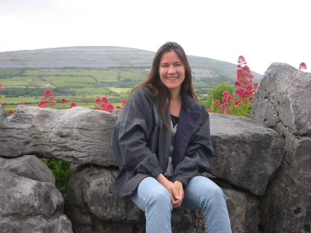
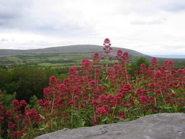
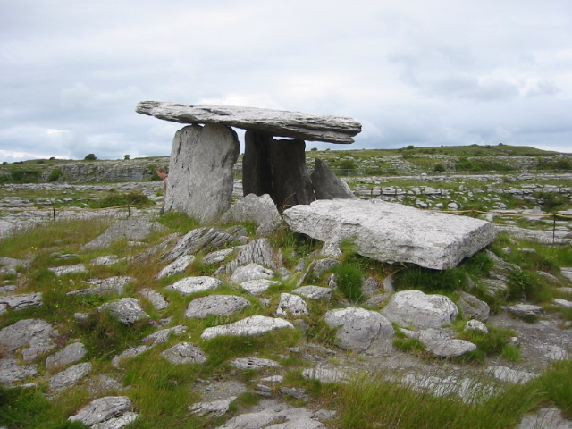
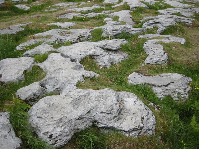
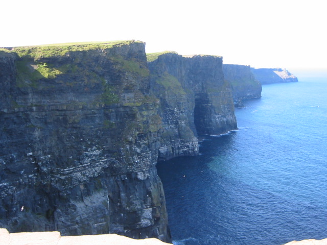
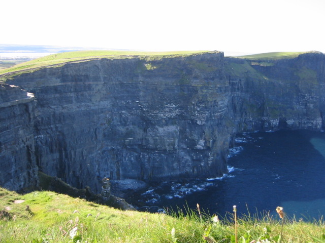
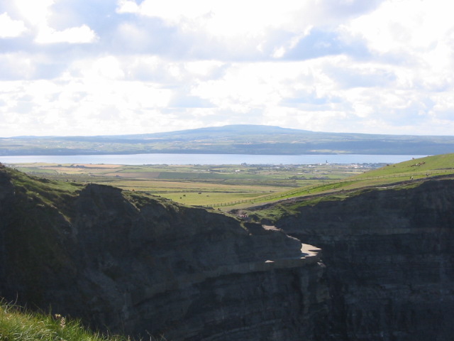
The landscape in this part of the country, called the Burren, was
really beautiful. The Burren, which literally means stony place, is made up
of limestone. Limestone lets the rain water seep down and erode through
the mountains carving a huge network of caves throughout the area.
In fact, there really aren't many rivers to be seen in the area
because they are all underground.
If you want to learn more about the Burren, just click here www.burrenbeo.com/landscape.html
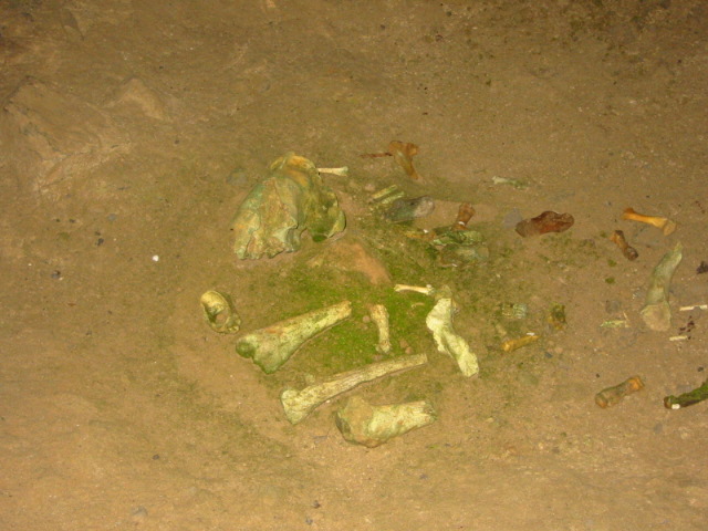
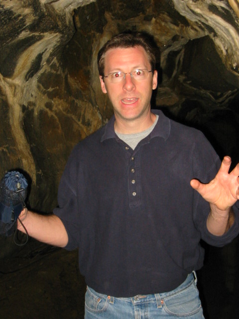
Anyway, we took a tour of the Aillwee Cave, which was discovered in 1944 by
Jack McGann as he followed his dog chasing after a rabbit. The
cave had remains of bears which hibernated there in the winter time.
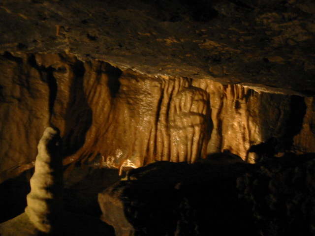
It also had underground waterfalls, stalagmites, and stalactites. The
tour guide was telling us how these waterfalls quickly grow when it rains.
She also pointed out how the roof of one section was smooth due to the
water which raged down the path ages ago.
 End
End